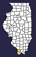


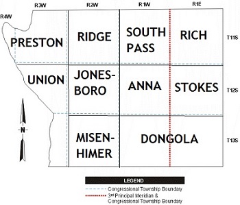
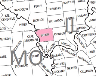
Area Map
Southern Illinois
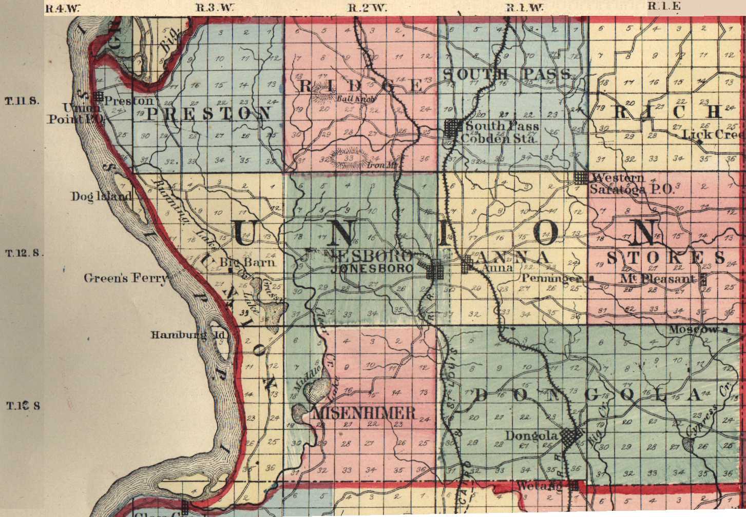
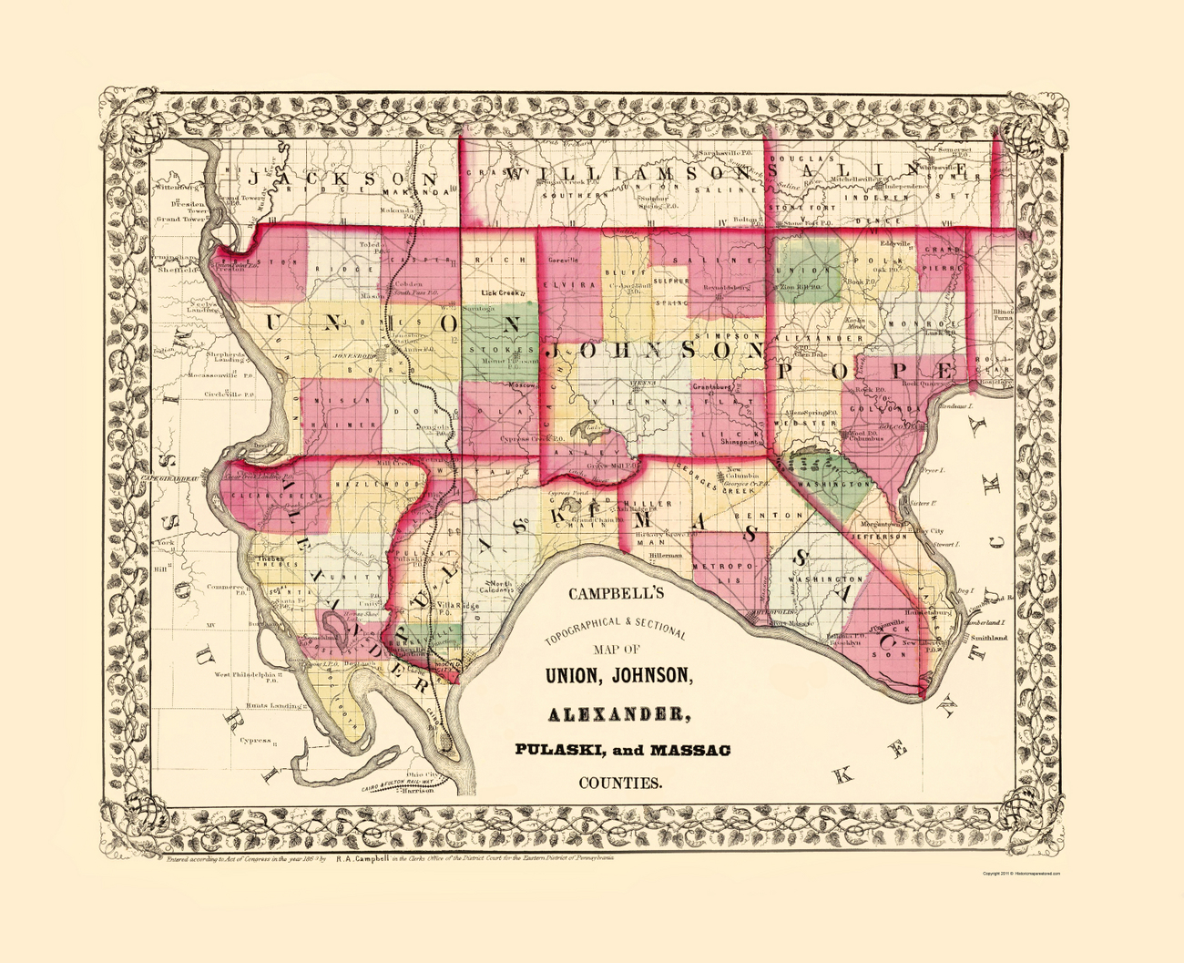
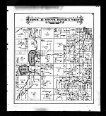
1875
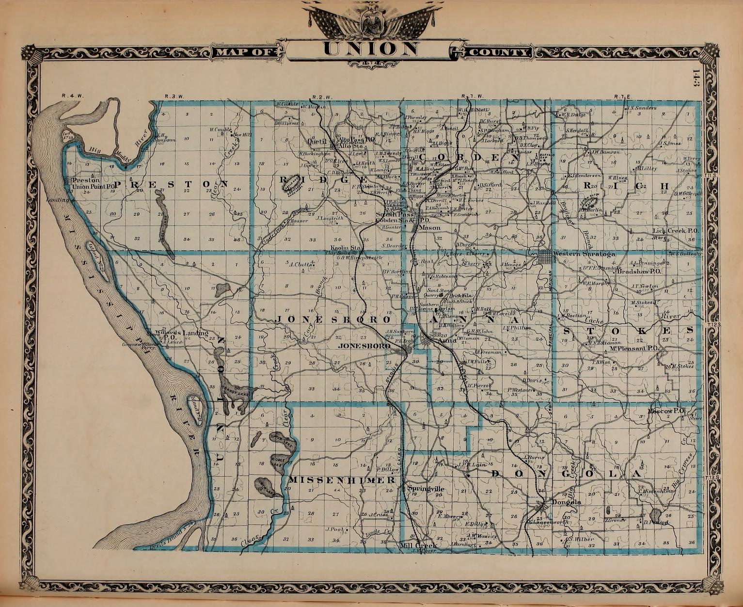
1876 Atlas
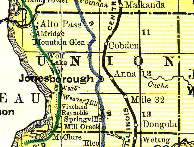

1895
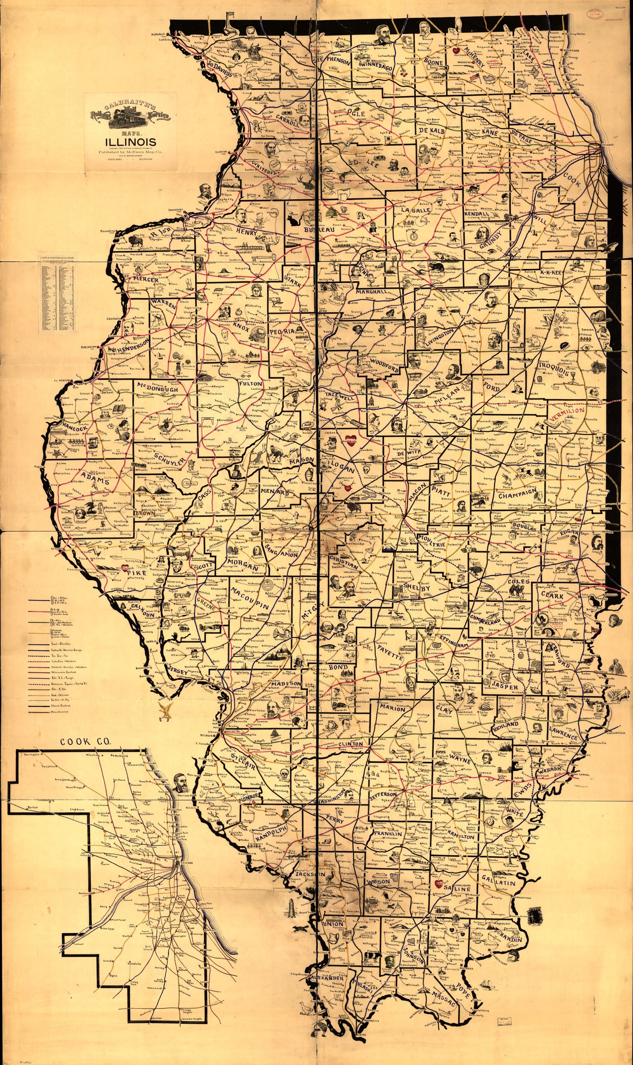
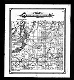
Galbraith 1897
Link to Landowner lists and larger images by clicking on each plat image above
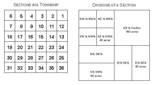
Typically, townships are divided into 36 sections of 640
acres. Each section is further subdivided into quarter sections,
half-quarter sections, or quarter-quarter sections. Examples of
these subdivisions within a township appear below.
NW – The northwest ¼ of a section (160 acres)
S2NW – South ½ of the northwest ¼ of a section (80 acres)
NENW – The northeast ¼ of the northwest ¼ of a section (40 acres)
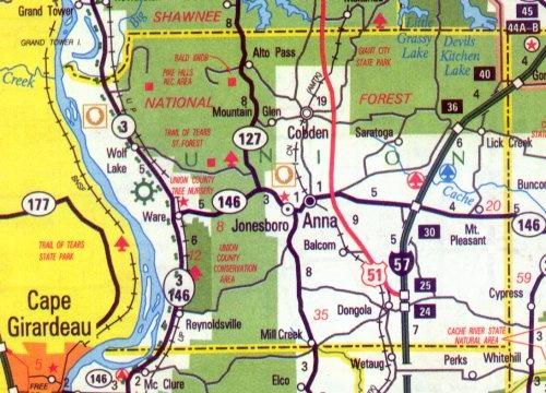
Aldridge
Alto Pass
Anna
Balcom
Bennett Landing
Berryville
Cobden
Dongola
Dutch Mills
Halsey
Hamburg Landing
Jonesboro - county seat
Kaolin
La Rue
Lick Creek
Mason
Mill Creek
Moscow
Mount Pleasant
Mountain Glen
Pottsville
Quetil
Reynoldsville
Saratoga
Springville
The Hall
Union Point
Valley Mission
Ware
Water Valley
Wolf Lake
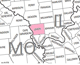
| Jackson | Williamson | |
| MO |
 |
Johnson |
| Alexander | Pulaski |